Home > South America > Colombia

Republic of Colombia
República de Colombia
República de Colombia
Government type Presidential republic
Area 1,141,748 km² (440,831 sq mi)
Population 48,258,000 inh. (2018 census)
Population 52,696,000 inh. (2024 est.)
Population density 46 inh/km² (120 inh/mi²)
Area 1,141,748 km² (440,831 sq mi)
Population 48,258,000 inh. (2018 census)
Population 52,696,000 inh. (2024 est.)
Population density 46 inh/km² (120 inh/mi²)
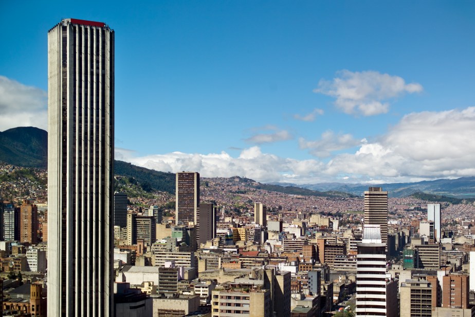
Capital Bogotá (7,898,000 pop., 10,252,000 urban aggl.)
Currency Colombian peso
Human development index 0.752 (88th place)
Languages Spanish (official), Indio idioms, Creole, English
Life expectancy M 74 years, F 80 years
Currency Colombian peso
Human development index 0.752 (88th place)
Languages Spanish (official), Indio idioms, Creole, English
Life expectancy M 74 years, F 80 years
GEOGRAPHY DATA OF COLOMBIA
Largest cities
Bogotá 7,898,000 pop., 10,252,000 urban aggl.
Medellín 2,575,000 pop., 3,242,000 urban aggl.
Cali 2,238,000 pop., 2,640,000 urban aggl.
Barranquilla 1,334,000 pop., 2,133,000 urban aggl.
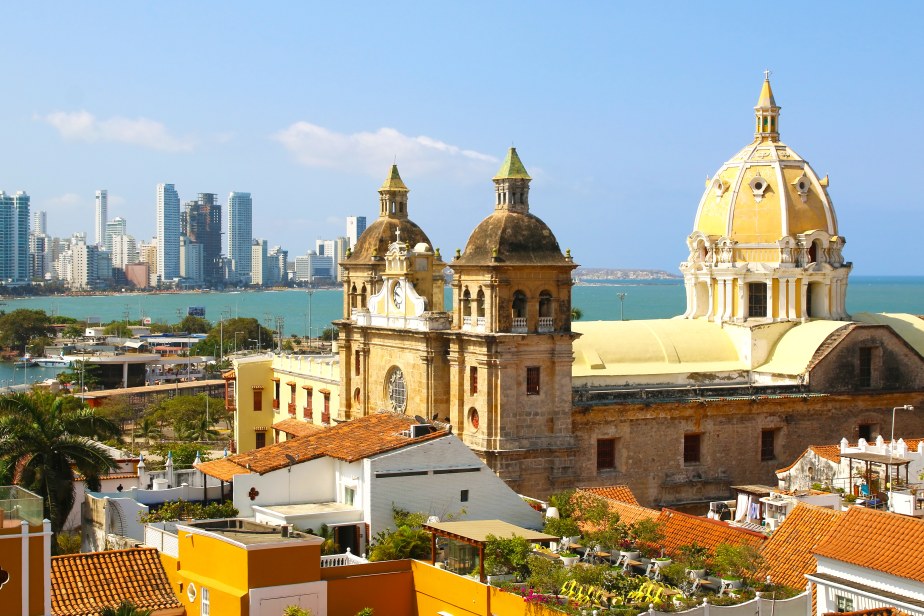
Cartagena 937,000 pop.
Bucaramanga 610,000 pop., 1,005,000 urban aggl.
Highest mountains
Sierra Nevada de Santa Marta 5,775 m (18,947 ft)
Ritacuba Blanco 5,410 m (17,749 ft)
Nevado del Huila 5,364 m (17,598 ft)
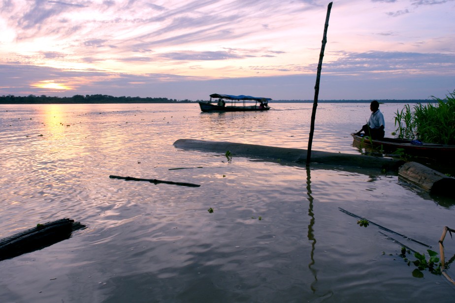
Longest rivers
Amazon 6,437 km (4,000 mi) total, Colombia has a very small stretch on the southern border
Caquetá / Japurá 2,415 km (1,501 mi) total, 1,200 km (746 mi) in Colombia
Rio Negro 2,250 km (1,398 mi) total, including Brazilian and Venezuelan sections
Orinoco 2,140 km (1,330 mi) total, including Venezuelan longest section
Putumayo 1,610 km (1,000 mi) total, 1,300 km (808 mi) in Colombia
Magdalena 1,528 km (949 mi)
Largest lakes
Ciénaga Grande de Santa Marta 4,280 km² (1,653 sq mi)
Lake Tota 55 km² (21.2 sq mi)
Largest islands
Margarita 2,100 km² (811 sq mi)
Gorgona 26 km² (10 sq mi)
San Andrés 26 km² (10 sq mi)
ADMINISTRATIVE DIVISIONS OF COLOMBIA
Colombia is divided into 32 departments, to which the district of the capital must be added; Amazonas and Vichada are the two largest departments, with just over one hundred thousand square kilometers of surface, but both have a very low population density, around one inhabitant per km²; the district of the capital and the department of Antioquia, where the second Colombian city Medellín is located, are the two most populous administrative entities.Four cities have over a million inhabitants, while there are 28 urban centers in all over 200,000 people; in the last map it is very clear that the eastern part of the state is sparsely populated, with the cities located mainly in the triangle between Bogotá, Medellín and Cali or in the northern area of Colombia.